Report on National seminar on GIS and its Applications
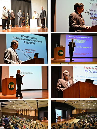
A National Seminar on “Geographical Information System and its Applications” was organized at Mody University campus, Laxmangarh on 23 November 2018. A galaxy of professors, researchers and intellectuals gathered at the Sangeet Samrat Tansen Sabhaghar to deliberate on the various aspects of the issue regarding the GIS and its Applications. The inaugural session began with the lightening of lamp and University Kulgeet. Welcome Speech was delivered by Prof. V.K. Jain, Dean –SET. Prof. Jain highlighted the fact that GIS is a multidisciplinary field and is attracting young technocrats of different streams like Electronics, Computer Science, etc.
Dr. Sanjay Jain, Scientist ‘G’, National Institute Hydrology, Roorkee gave a comprehensive presentation on “Remote Sensing and GIS Application in Water Resource Management”. In the presentation, he discussed the applications of remote sensing and GIS in vegetation indices, extent of snowpack, surface temperature, Glacier mapping/changes, Surface soil moisture, Rainfall-Runoff Studies, Sedimentation Studies, Flood Assessment and Management Studies, Groundwater Exploration, Snowmelt Runoff studies

The next session started with an interactive session by Dr (Col) K. C. Tiwari, Professor, Multidisciplinary Centre for Geoinformatics, Delhi Technological University, New Delhi. He interacted with the students on an interesting topic “Camouflage Breaking Using Remote Sensing”. Beginning with the definition and explanation of the camouflage technique, he gave real-life examples of camouflage and then discussed technical issues related to Camouflage breaking using Digital Image Processing.
Dr. Arun K Saraf, Professor, and Head, IIT Roorkee delivered on the topic “Geoinformatics for fog Mapping, Modelling and Dispersion Techniques”. He presented his research interpretation on dissipation and migration patterns of fog on the basis of the analysis of both meteorological and satellite data. With the help of few videos, he also demonstrated the ion-based fog dispersion
technique which may be a possible solution for getting rid of the fog.
“Geo-spatial Technology: Applications and Trends” was the topic of presentation of Dr. S. Srinivasa Rao. In the capacity of General Manager, Regional Remote Sensing Centre, Jodhpur, Dr. S. Srinivasa Rao discussed various projects running under the banner of ISRO in the field of remote sensing and GIS. He concluded his talk by inviting Mody University for signing an MOU with ISRO which can open doors for Ph.D. students and other research activities.
The programme ended with the vote of thanks by Dr. Prateek Bhanti, Convener of the Seminar.
